
FLOODING – Here’s where to find out what’s going on with roads
Wondering whether a particular road is open, one-lane, washed out? As the saying goes, there’s an app for that. At least, a website.
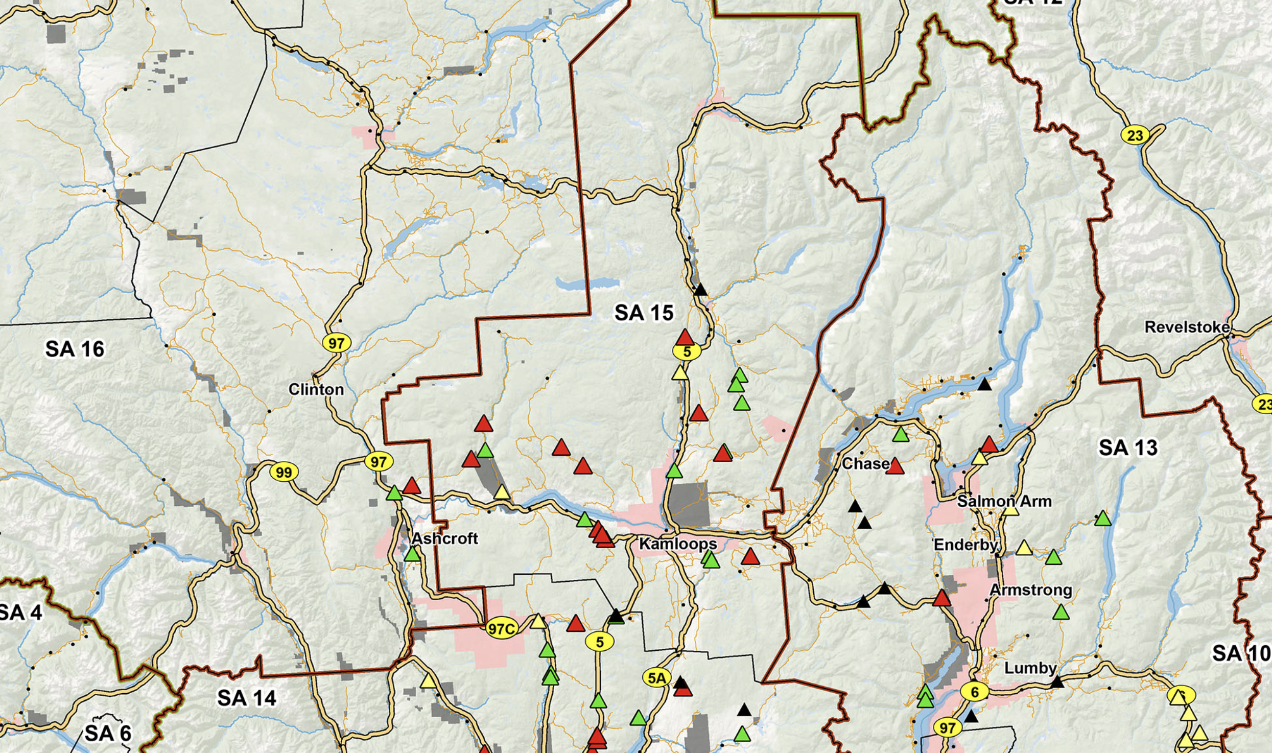
The Ministry of Transportation and Infrastructure has initiated a website to provide the public with up-to-date status reports on the condition of roadways throughout the province impacted by flooding. The Thompson-Nicola Regional District has been swamped with calls from the public and media during the past few days, but points out there’s a quick online way to find out what’s going on.
Information on the website covers roads not necessarily included in regular drivebc.com updates. This is especially important for residents of rural areas living away from major highways.
All you have to do is click here.

-Wow. This must be ‘The Year Of Water.’ for rural BC; I can’t particularly remember this many locations -in one fall swoop- getting washed out.
Great app coverage. They must have covered the areas by helicopter (one would think), as the speed of information couldn’t have all come in by the various locals or could it?
Excellent overall understanding of our local ministries governance (of the back country) when it’s needed.
LikeLike