
Wind carries smoke north from big wildfire, estimated size now set at 1,300 hectares
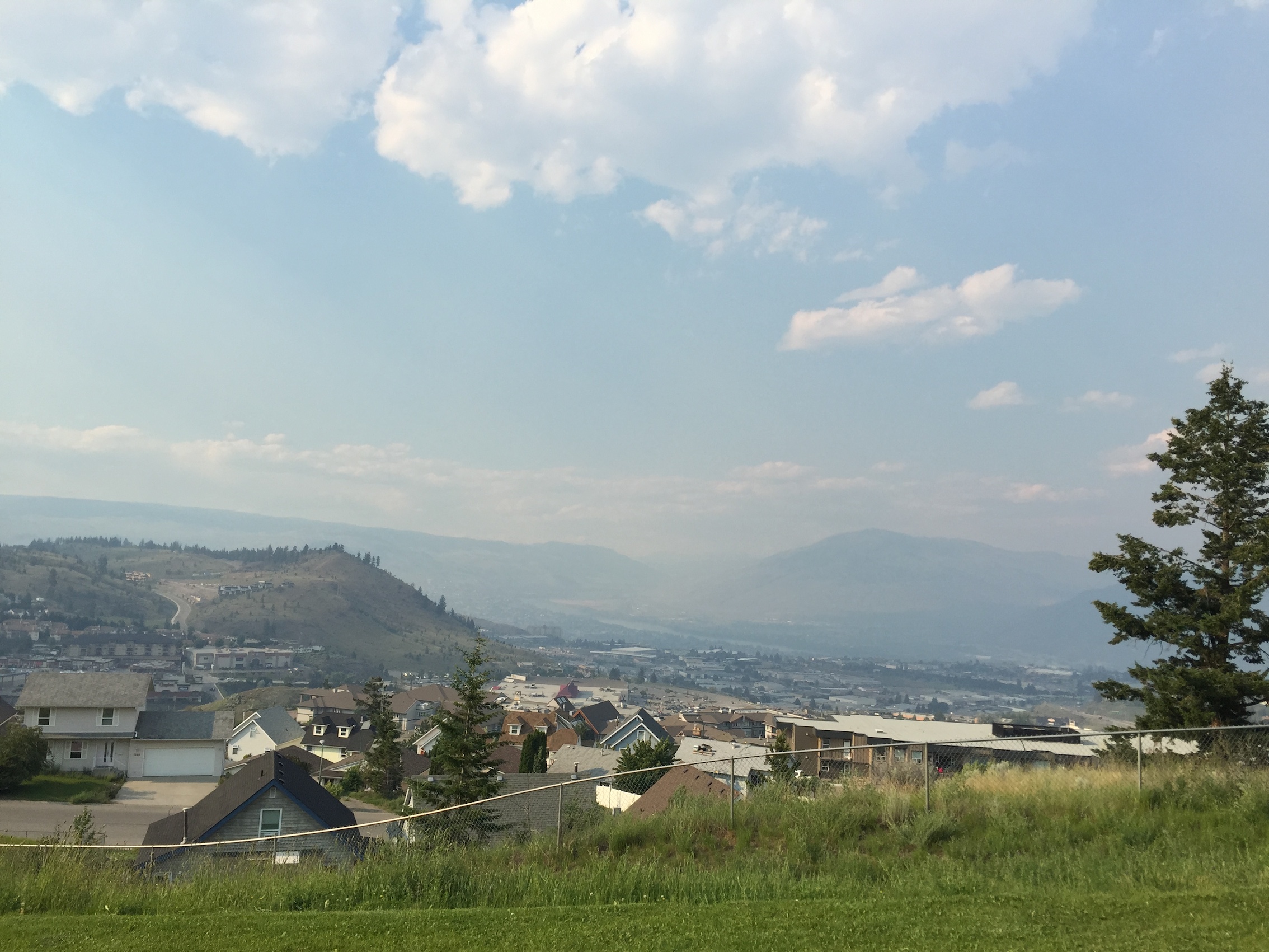
South-north wind brought smoke to Kamloops Thursday afternoon.
UPDATE — As of 9:13 p.m. Thursday, the Cisco wildfire south of Lytton had ballooned to more than 1,300 hectares. At mid-afternoon, it was estimated at only 600.
“Crews are still witnessing active fire behaviour on this fire,” said the Wildfire Management Branch.
Strong winds were expected to lessen overnight but more smoke from the fire was collecting over Kamloops between 9 and 9:30 p.m. The wind, which at times gusted to 60 km/hr in the afternoon, is forecast to be 10 to 20 km/hr Friday.
Crews will conduct burn-off operations tonight if conditions permit, in order to reinforce a control line along the eastern flank of the fire.
An evacuation order was issued by the Lytton First Nations Band for 10 properties, and 6o to 65 other properties are on evacuation alert. Sprinkler protection units have been deployed to properties at immediate risk.
The Thompson-Nicola Regional District also issued an evacuation alert for five properties on South Spencer Road across the river from Lytton.
Two helicopters and more than 80 firefighters are assigned to the fire. Twenty crew will remain onsite overnight.
The fire is still zero-percent contained.
NEWS/ WILDFIRES — A wildfire south of Lytton had grown to 700 hectares in rough terrain by late Thursday afternoon and was displaying what officials called “aggressive” fire behaviour.

Location of fire.
Winds gusting to 60 km/hr from the south were challenging suppression efforts of 22 firefighters. Twenty more firefighters were en route to what’s called the Cisco fire. Three helicopters were providing support for the ground crews.
Winds carried the smoke throughout the Kamloops Fire Centre region and was visible within the Merritt, Kamloops and Vernon fire zones.
The fire is located west of the Fraser River and is considered zero-percent contained.
Some homes are reported to have been evacuated and others are on evacuation alert.

Leave a comment